The Town of Bristol is rich with history, and the Bristol Trail Network has several interesting reflections of that. Join us here or on the trail for a window into how humans and nature have impacted and interacted with the local environment for ages!
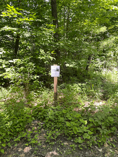
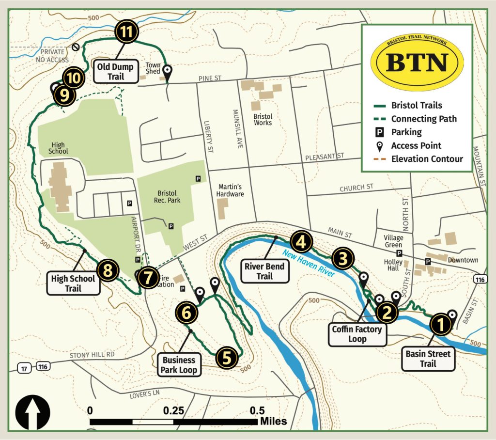
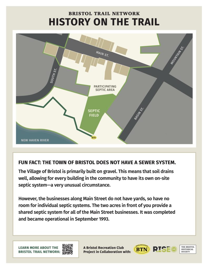
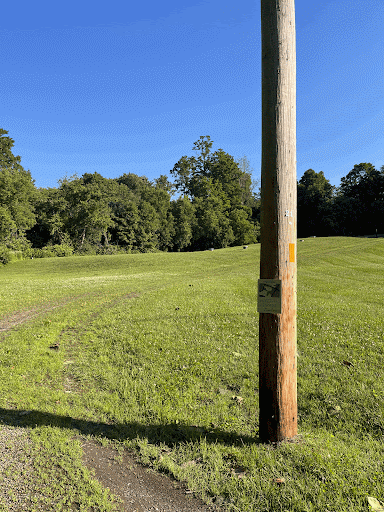
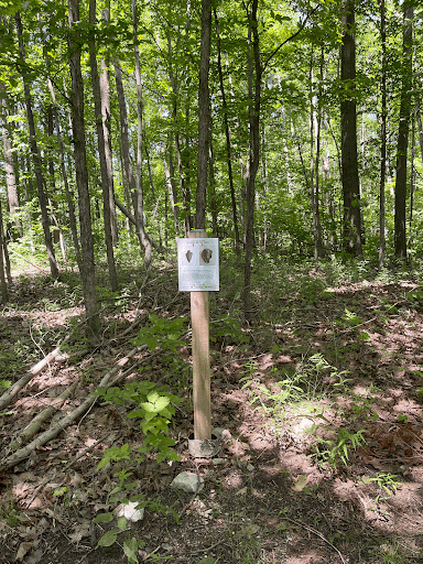
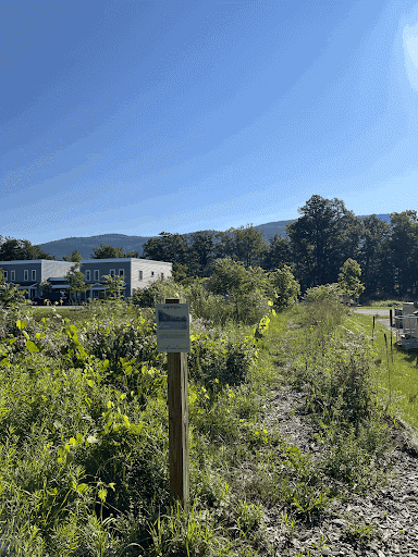
The map below shows the location of 11 markers that tell a story or reveal a fun historical fact on the trail. Graphics of each marker are included below with their corresponding number, accompanied by a photo of the sign in place on the trail so you can see what you’d be looking at if you were standing in that spot today.
Thank you to the Bristol Historical Society who researched and compiled the content for most of these signs! We are lucky to have this rich resource of volunteers who document, catalog and share their knowledge of our community.
Basin Street Segment
![]() Shared Septic:
Shared Septic:
Coffin Factory Loop
![]() Historic Foundations:
Historic Foundations:
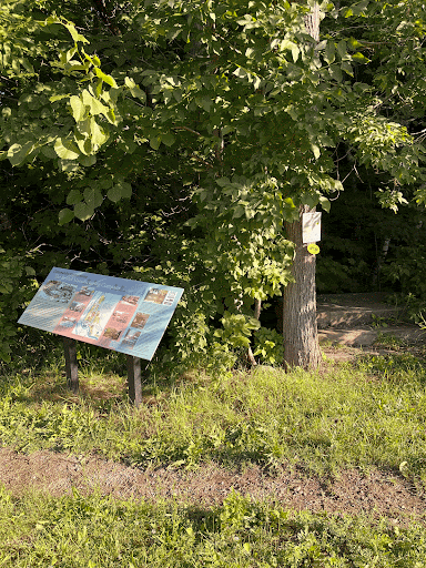
This particular sign is incredibly detailed and contains a lot of very specific and valuable historical information about Bristol and the thriving manufacturing industry that once existed here. We have provided the full text and many photos in a PDF for your convenience. Click here to download!
River Bend Segment
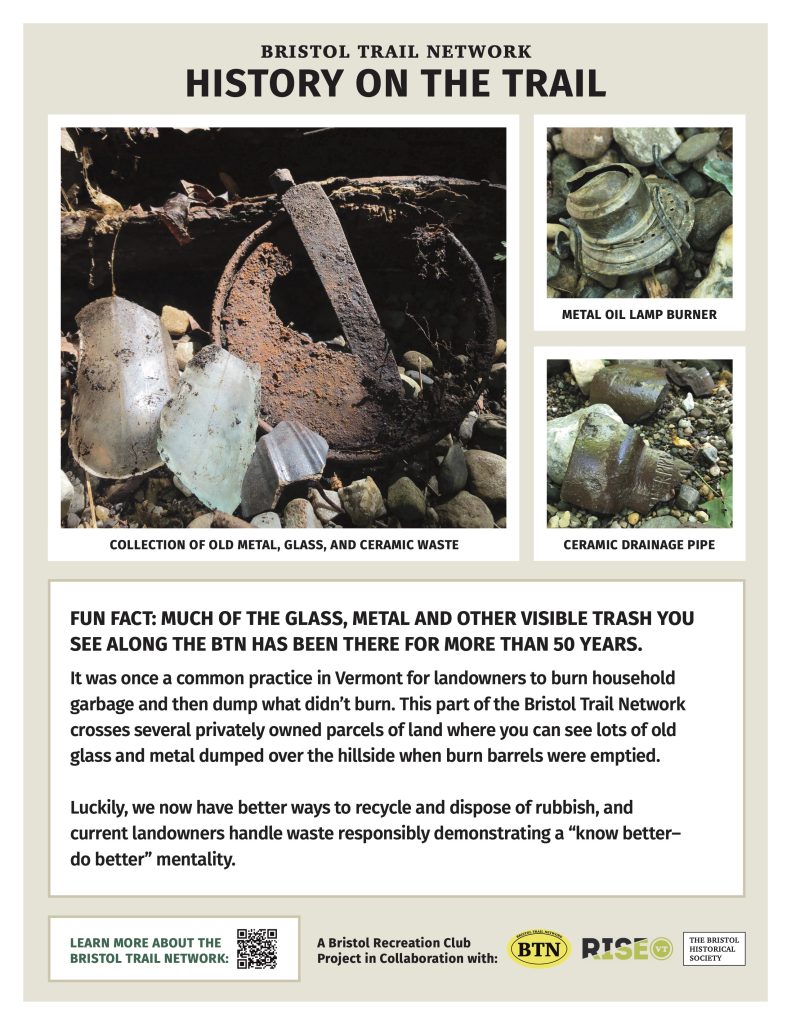
![]() Burn Barrels:
Burn Barrels:
![]() Cars: 44.13367 N, 73.08368 W
Cars: 44.13367 N, 73.08368 W


Business Park Loop
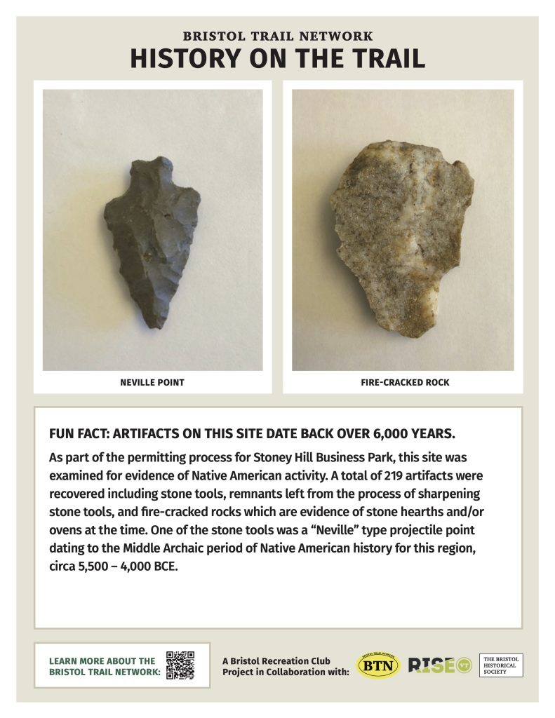
![]() Archaeology: 44.13010 N, 73.08677 W
Archaeology: 44.13010 N, 73.08677 W
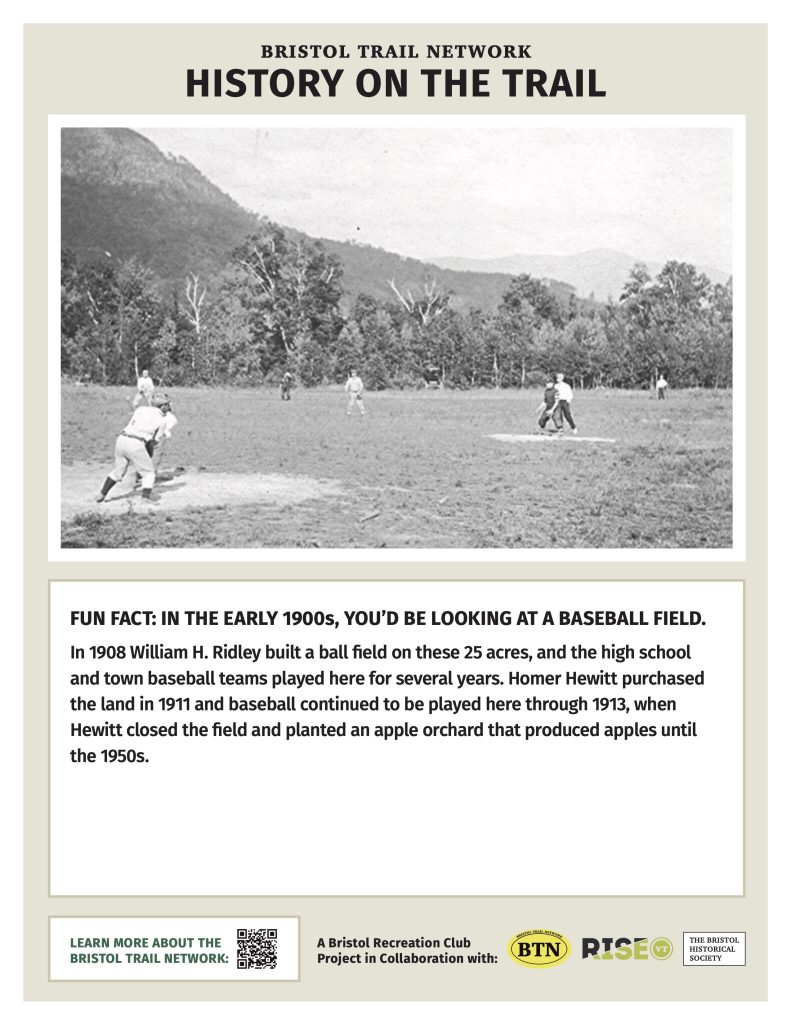
![]() Baseball Field: 44.13158 N, 73.08847 W
Baseball Field: 44.13158 N, 73.08847 W
High School Trail
![]() Airport:
Airport:

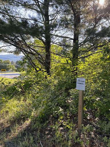
![]() Glacial History: 44.13327 N, 73.09271 W
Glacial History: 44.13327 N, 73.09271 W
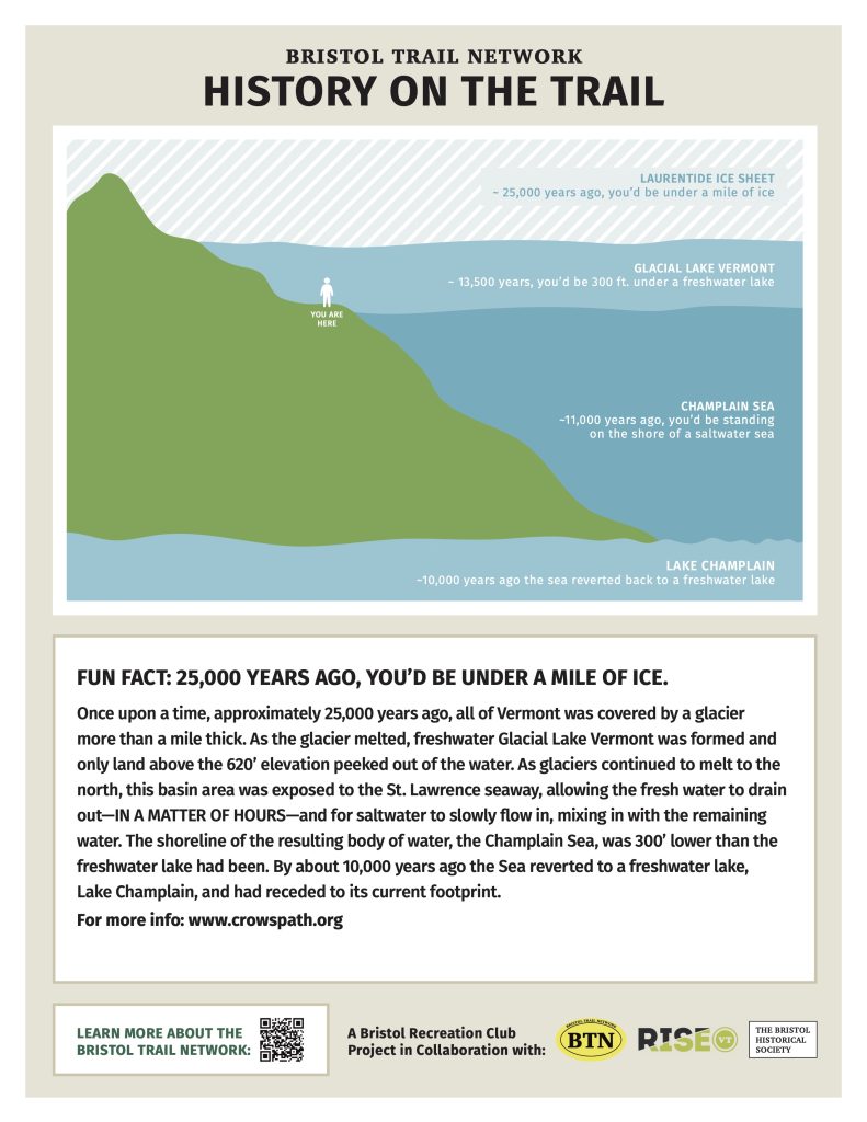
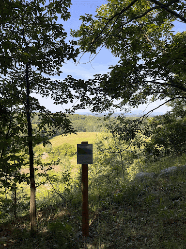
In 2024, Summer Intern Anna Steele did additional research about the glacial and geological transformation of Bristol.
Old Dump Trail
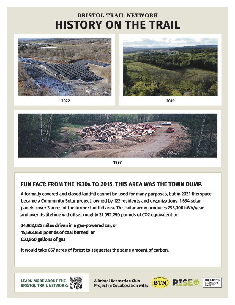
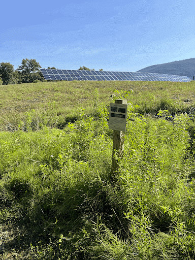
![]() Dump to Solar: 44.13476 N, 73.09909 W
Dump to Solar: 44.13476 N, 73.09909 W
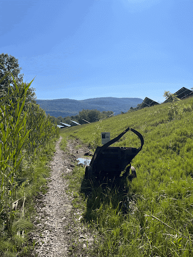
![]() Tarvia Cart: 44.13862 N, 73.09333 W
Tarvia Cart: 44.13862 N, 73.09333 W

![]() Railroad: 44.13996 N, 73.09060 W
Railroad: 44.13996 N, 73.09060 W

